
Notes on navigation data.
Short technical notes on how navigation data is produced, what it can support and where it stops.
Illustrative footage · computer-generated
-
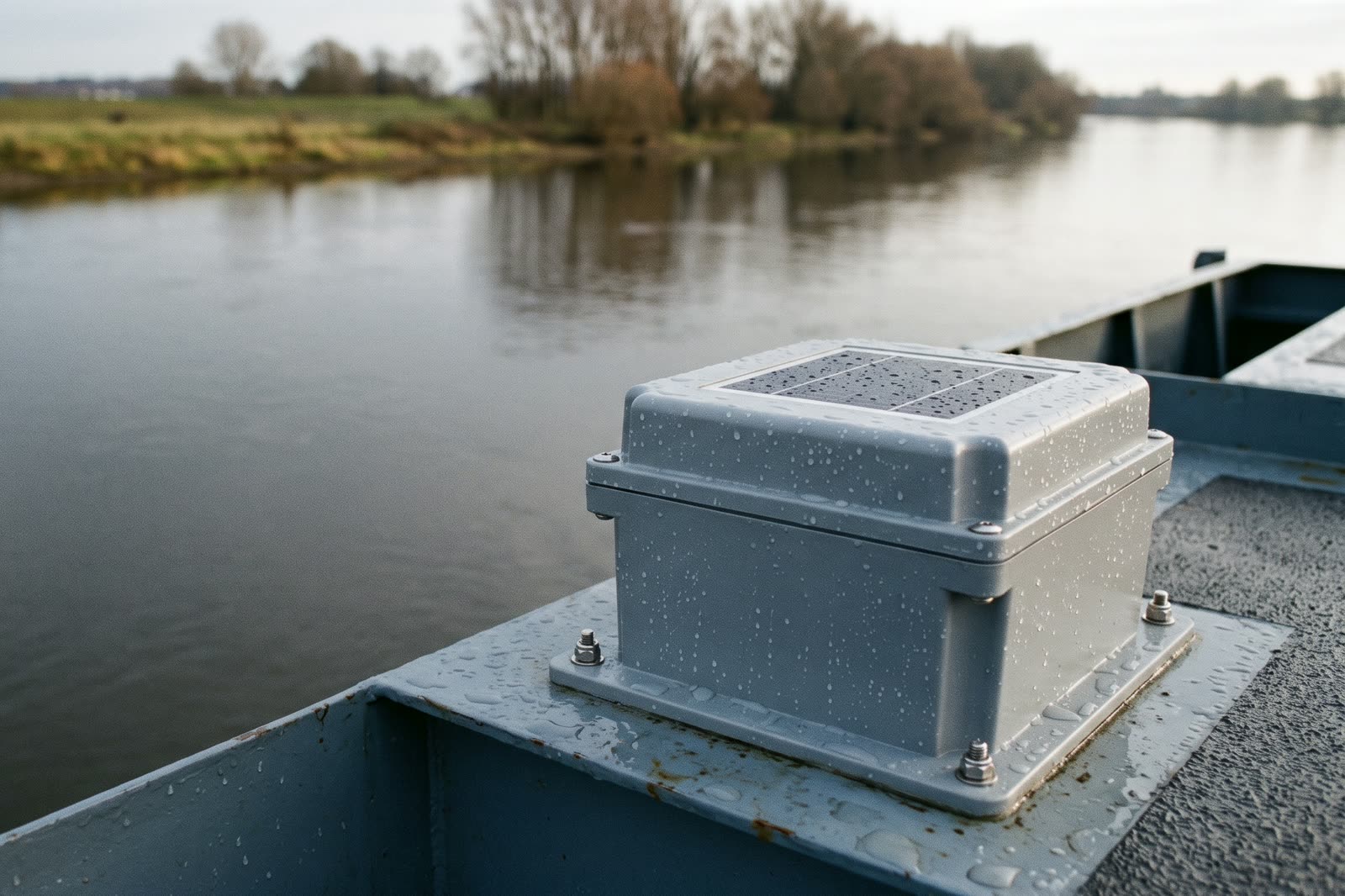
Reporting position where there is no mobile coverage
How a vessel’s position reaches the screen by satellite, and what that changes for the people deciding the transit.
Read more -
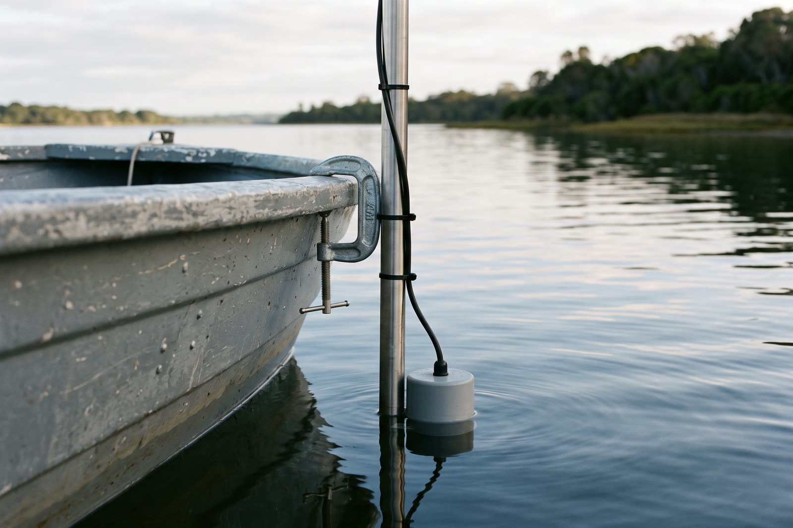
What an echo-sounder profile says, and what it does not
A depth profile records one line, on one day, with one instrument. What it can support, and where it stops.
Read more -
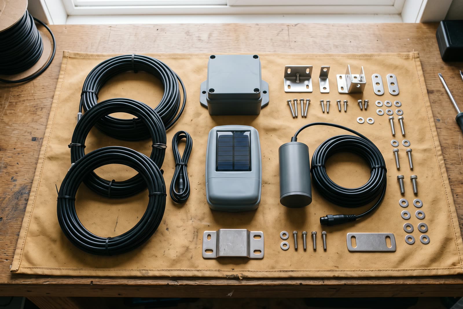
Choosing equipment for the operation, not from a catalogue
The same instrument can be right on one vessel and wrong on the next. How the choice is made before anything is quoted.
Read more


Illustrative images · computer-generated
Tell us what your operation needs to know.
Write to [email protected] with the vessels, the waterway and the decision you are trying to make, and we will answer with what the software and the instruments can cover.